Ontdek de Hoge Berg
op Texel


De Hoge Berg is ontstaan in het Saalien, de voorlaatste ijstijd die zo’n 140.000 jaar geleden een deel van ons land met ijs bedekte. De ‘berg’ is het hoogste punt van een zogenoemde keileemstuwwal die dwars over Texel loopt, van Den Hoorn tot aan Oosterend. Het Saalien was de laatste periode waarin Scandinavisch landijs tot in onze streken kwam. Het ijsfront kwam ongeveer tot de lijn Texel, Wieringen, Gaasterland, Urk, Steenwijk en Coevorden. Langs dat front zijn afzettingen van rivierzand, rivierklei en zwerfstenen door het ijs opgeduwd tot stuwwallen.
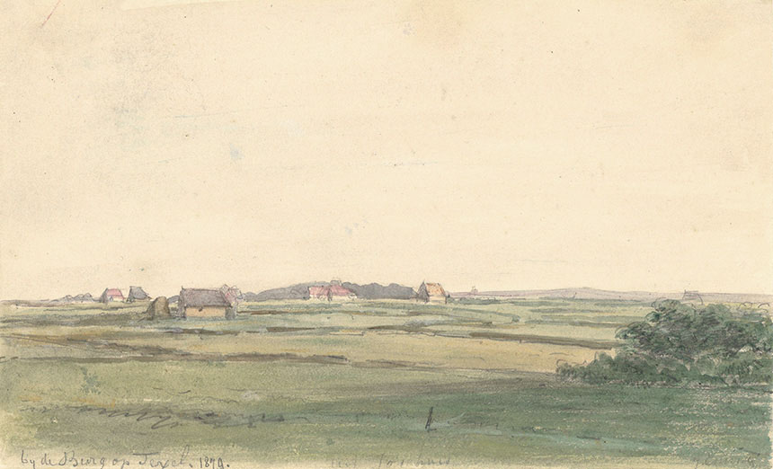
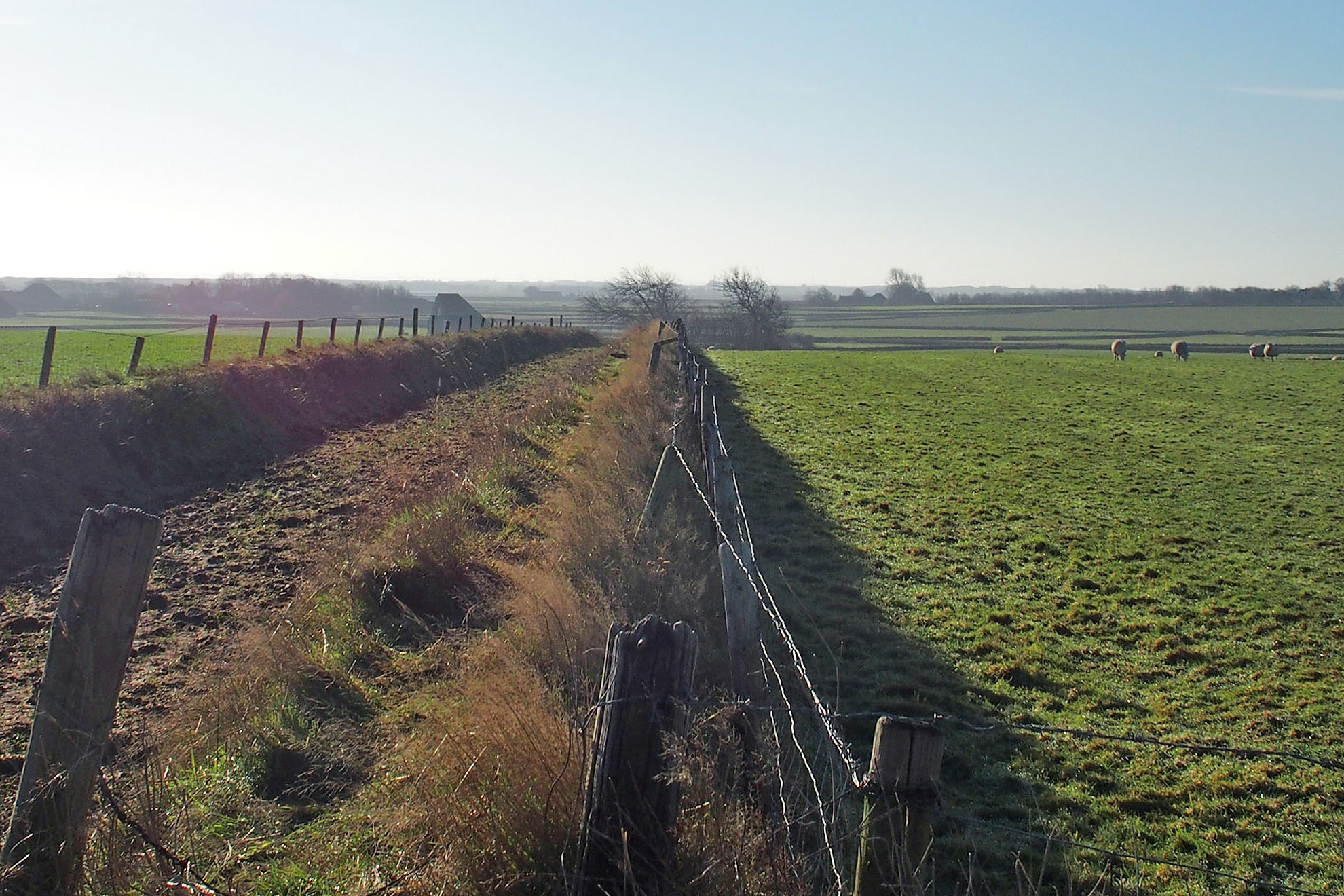
De keileemstuwwal steekt nog altijd boven het landschap uit en is tussen de vijf en vijftien meter hoog. Vanaf de veerboot kun je de Hoge Berg al zien. In vroeger tijden boden deze hoogtes bescherming tegen het opkomende zeewater. Dat speelde vooral in de Middeleeuwen. Toen hebben verschillende stormvloeden in de twaalfde en dertiende eeuw veel van de laaggelegen veen- en kweldergronden in het waddengebied verzwolgen. Het is dus niet voor niets dat de oudere dorpen op Texel allemaal op de stuwwal liggen.
De Texelse stuwwal is van grote invloed geweest op de ontwikkeling van de Nederlandse kust. Hij vormt als het ware een ophangpunt van hardnekkig materiaal. De zeestroming voerde rivierzand mee naar het noorden. Dat zand werd ten zuiden van het ophangpunt afgezet als een lange strandwal en vormde zo de enigszins holle kustlijn van Holland. Voorbij het ophangpunt boog deze strandwal door wervelingen in de zeestromingen af naar het oosten. Daar ontstond ook een strandwal, maar die werd later op veel punten doorbroken door stormvloeden. Het resultaat was een lange rij waddeneilanden tot in Denemarken aan toe.
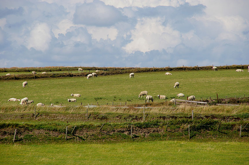
De kern van de Texelse stuwwal is het landschapsreservaat de Hoge Berg, herkenbaar aan het glooiende landschap, met z’n karakteristieke Texelse tuinwallen (Texels: tuunwallen), schapenboeten en kolken. Die tuinwallen dienen al eeuwen als afscheiding tussen de percelen. Ze werden gemaakt van graszoden, opgevuld met zand. De boeren in het gebied werken op basis van beheersvergoedingen mee aan het behoud van het landschap.
Concept: Zilte Zaken / Teksten: Stichting Hoge Berg & Zin in Zee & Museum Kaap Skil / Design & techniek: WEBJONGENS
Steun vandaag nog met een donatie of investering.
Meer informatie over crowdfunding